NarrativeObject / narrative
Below the official map
Sent to look for sabotage, the municipal survey finds something else: twenty years of repairs, pumps, reefs and connections the city never registered.
Keep following the thread.
Original record and sources
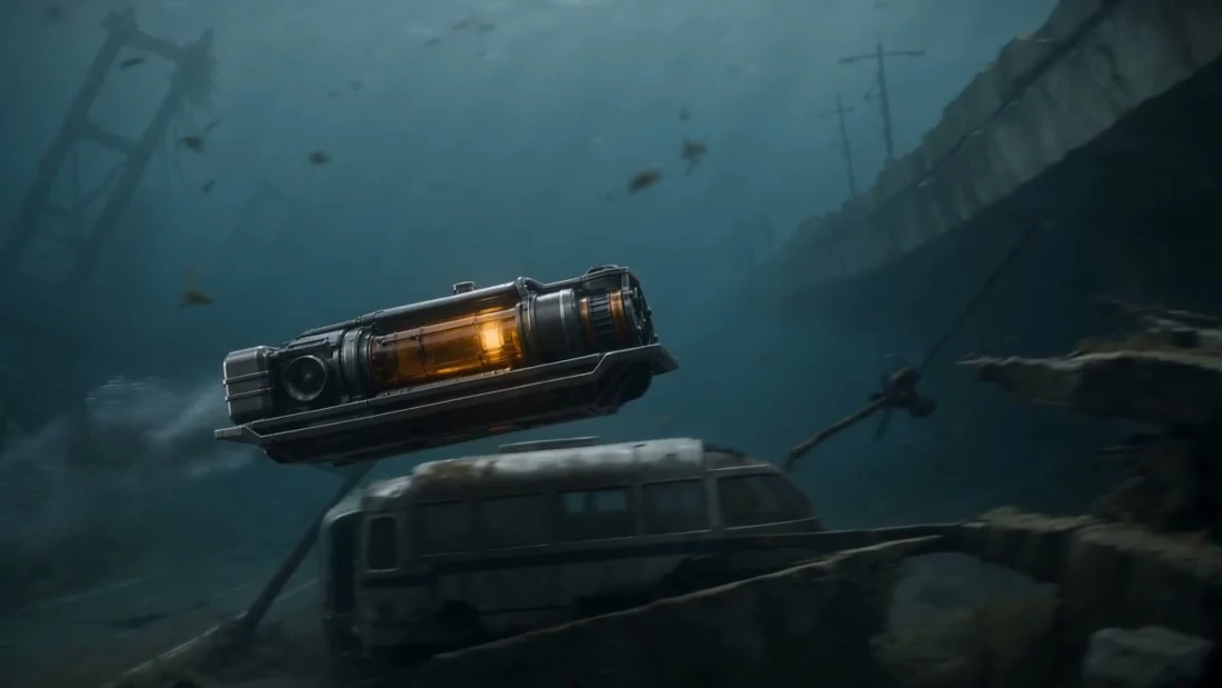
This image is the supplied probe-002 development study. It illustrates the underwater survey without asserting a geometry or canonical-vehicle match. Public copy follows the supplied XPRIZE treatment.
Look beneath the city the model thinks it knows.
At the flood-gate maintenance berth, a crane lowers the vehicle below the water. A service frame, amber cylinder, central drum and ducted thrusters give the modeled machine its silhouette.
The later Ground Truth sequence asks a related question: can a probe recover evidence of the city’s improvised service layer before the surface window closes? This modeled drone is a development depiction, with its exact mapping to that later sequence still open.
- Canonical identifier
- urn:storm:object:underwater-drone-024
- Canon state / reality mode
- working-canon / fictional
- Source meaning
- This record describes documented model geometry or supplied story context; it is not evidence of a real city or tested engineering performance.
- Model history and verified production deliveries ↗
- Ground Truth / Hurricane Window workflow PRD ↗
- Preparing the descent / supplied study ↗
- Below the surface / supplied study ↗
- The drowned street / supplied study ↗
- A break in the accepted city / supplied study ↗
- Through the service layer / supplied study ↗
- Where the water actually goes / supplied study ↗